
Intro#
Overview#
QCarta is a complete GeoPortal for QGIS Maps.
Simply upload your QGIS Project via the QCarta QGIS Plugin (or via FTP) and select features and your map is online.
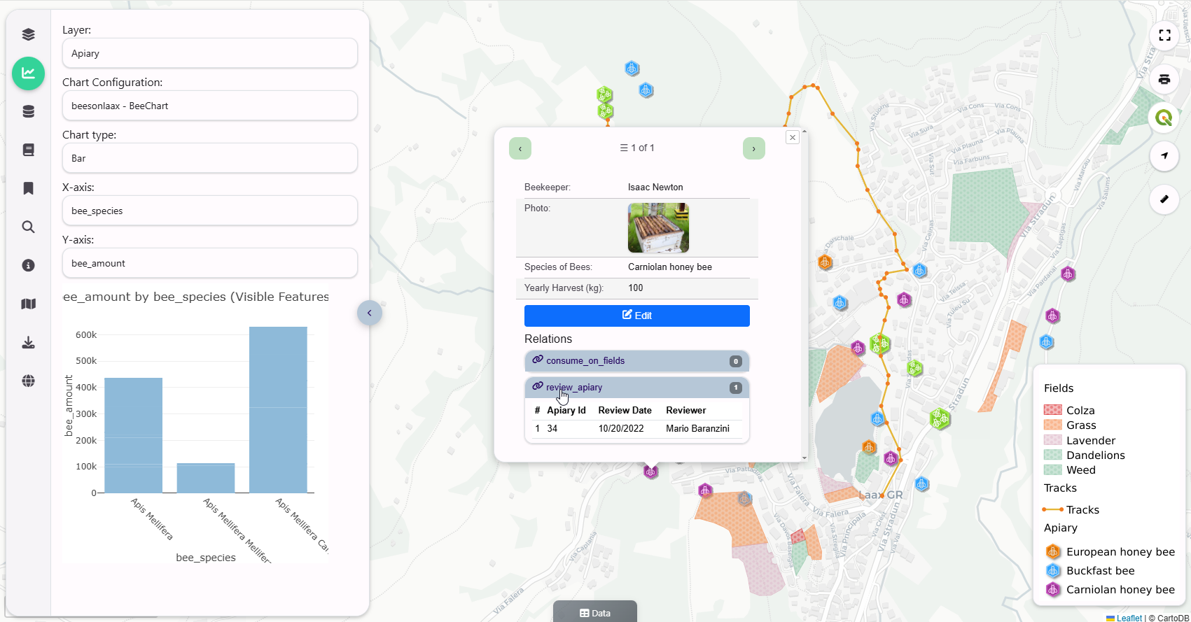
Maps
Dashboards
Filters
GeoStories
Plotly Support
SQL Reports
SQL Workshop
QGIS Relations
QGIS Plugin
Group Level Permissions
OGC Web Services (WMS, WFS, and WMTS)
Topics and Keywords
Metadata
Template and Map-Level Customization
The workflow is similar to GeoServer. You create Stores from data sources. From Stores, you create Layers.
Creation of Stores is simplified by providing only two Store types: QGIS and PostGIS
QGIS Stores
These consists of your QGIS Project and any Raster, Vector, and static files.
If your QGIS Project uses a PostGIS data source, you can create a PostGIS Store for it.
PostGIS Stores
These consist of any local or remote PostGIS connections.
You can also create PostGIS databases from a variety of formats, such as geopackages, shapefiles, backups, etc…
Layers
Layers are created from QGIS and PostGIS Stores.
Layers provide OGC Web Services that are served via MapProxy
MapProxy
QCarta also installs MapProxy, for caching. Quail Authentication is integrated with MapProxy.
Layers can also be seeded in advance.
OGC Web Services
You can publish WMS, WFS, and WMTS publically or via authentication.
OpenLayers and Leaflet Preview
You can preview all stores and layers in OpenLayers and Leafletjs.
Users and Groups
Create Users and Groups. All Stores and Layers provide Group level permissions.
Portal*
Users see only those resources they have permissions for.
Components#
QGIS Server
MapProxy
PostgreSQL
PHP
SimpleWebrowser
WFSExtension
OpenLayers
Leafletjs
Bootstrap 5
Open Source#
Quail is Free, Open Source Software.
GNU GENERAL PUBLIC LICENSE v3